

Parts of Twickenham could be underwater by 2050, study shows
By The Editor 13th Aug 2021
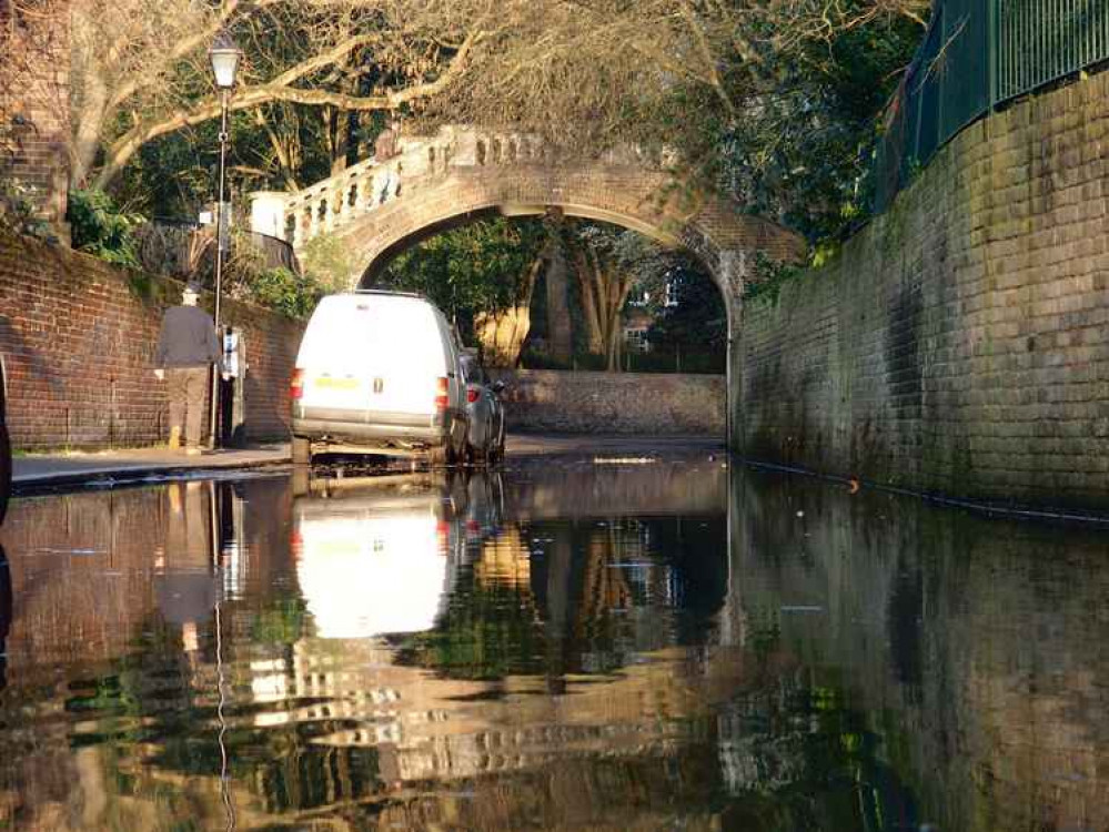


Parts of Twickenham could be underwater in less than 30 years, according to a climate change study.
Climate Central has released an interactive sea-level rise and coastal flood map which are based on peer-reviewed science in leading journals.
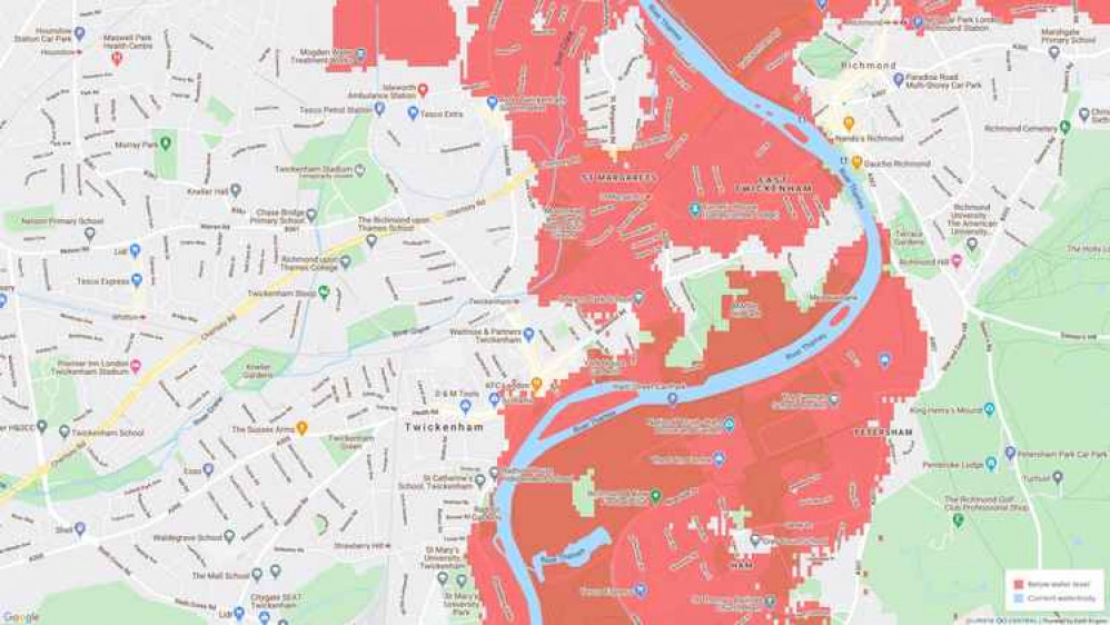
The map uses current predictions to show which areas of London and the UK could be lost to rising sea levels by 2050.
They say that the map 'incorporates big datasets, which always include some error' and should be 'regarded as screening tools to identify places that may require deeper investigation of risk'.
Nearly all parts of the borough which border the River Thames - in particular East Twickenham and St Margarets - would be affected.
Twickenham Riverside and nearby areas, as well as parts of Radnor Gardens, would also go below water levels.
"Improved elevation data indicate far greater global threats from sea level rise and coastal flooding than previously thought, and thus greater benefits from reducing their causes," the interactive map says.
Climate Central is an independent group of scientists and journalists researching and reporting the facts about our changing climate and its impact on the public.
Download our Nub News App!
- It’s FREE and available now- Breaking news notifications
- Your Town in Your Pocket


You can view the map here.
Download our Nub News App:
- It’s FREE and available now
- Breaking news notifications
- Your Town in Your Pocket

Share: